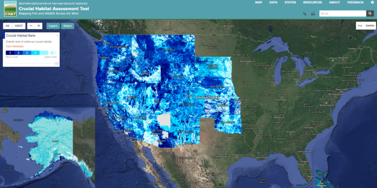
The Western Association of Fish and Wildlife Agencies’ Crucial Habitat Assessment Tool (WAFWA CHAT) was developed to bring greater certainty and predictability to planning efforts by establishing a common starting point for discussing the intersection of development and habitats. Spanning 16 states, CHAT is an online system of maps highlighting important fish and wildlife habitat areas, based on commonly agreed upon definitions originally developed by the Western Governor’s Wildlife Council. CHAT was designed to be used during pre-planning phases of land-use development projects, with the intention to reduce conflicts and surprises throughout the project process. Incorporating wildlife values into a development (or conservation) project as early as possible has proven to drastically reduce project timelines, saving time and money. CHAT data are regularly updated, ensuring that as new data are collected or discovered, they are also incorporated into project planning.
Within Oregon, crucial habitat layers for CHAT are developed and maintained by ODFW. More details for these layers can be viewed within ODFW Compass. Documentation of crucial habitat rankings, data sources, and additional details can be found within the Compass metadata.